Cities committed to clean energy don’t struggle with vision, they struggle with turning complex data into practical decisions!
This case examines how a United States green-energy initiative transformed slow, manual rooftop assessments into a scalable, AI-driven solar planning engine.
Real Results. Real Scale
80% faster assessments with AI models
More than 10,000 buildings assessed
±10% accuracy on usable area for solar planning
Where Data existed, but Decisions didn’t
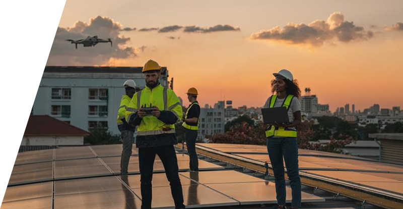
A U.S.-based geospatial solutions company supporting New York City’s green-energy program needed to assess the solar potential of public buildings at scale. Plenty of data existed, but converting it into decisions was difficult, limiting the progress towards renewable energy goals.
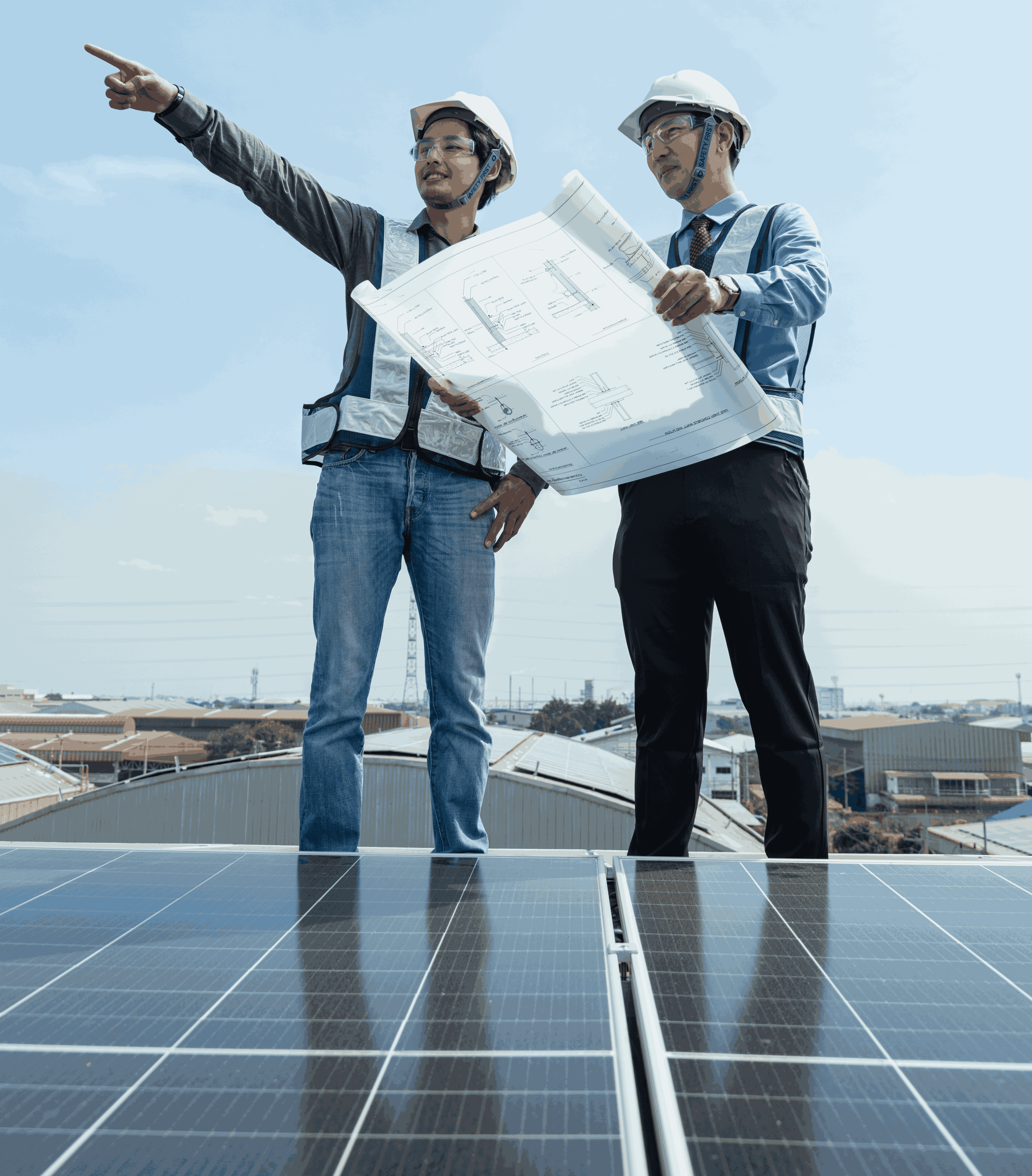
Manual rooftop analysis was slow and heavily dependent on individual effort. Analysts had to inspect LiDAR data and aerial imagery one building at a time to understand roof shape, slope, and obstructions. Determining how much rooftop space was actually usable was often inconsistent, as features like HVAC units, chimneys, and vents were difficult to identify and exclude reliably. Roof geometry and orientation varied widely across buildings, directly affecting solar feasibility but remaining hard to standardize at scale.
AI-Powered Rooftop Solar Intelligence at City Scale
NeST Digital designed and implemented an AI-powered geospatial analytics solution that automated rooftop solar assessment from raw LiDAR and imagery data. Instead of relying on manual inspection, the platform converted complex spatial data into clear, actionable solar insights.
AI-Based 3D Building Extraction
Machine learning models processed LiDAR point clouds to automatically extract accurate 3D building outlines, separating rooftops from vegetation and nearby structures.
AI-Powered Roof Form Classification
Rooftops were segmented and classified to evaluate solar suitability based on pitch, orientation, and geometry.
AI-Driven Obstacle Detection
Computer vision algorithms identified rooftop obstructions such as chimneys, vents, and AC units directly from 3D point clouds and imagery.
Usable Solar Area Identification
Non-usable regions were automatically excluded, which enabled the precise calculation of rooftop space available for solar panel installation.
How This Changed Urban Solar Planning
By automatically analyzing LiDAR and GIS data, AI-driven analysis took the role of manual evaluations and produced reliable and consistent results. Large numbers of buildings could be effectively assessed thanks to machine learning algorithms that recognized roof geometry, orientation, and obstacles. Solar planning teams could now rely on standardized intelligence rather than individual interpretation, gaining greater confidence in rooftop solar feasibility.
Solar assessments became faster and easier to execute, even across dense urban environments. Planning scaled without added complexity, high-impact rooftops were identified more accurately, and cities were able to move from planning to deployment more decisively, accelerating progress toward clean-energy goals with confidence.
From constraints in data to driving action with data! Urban clean-energy planning has now became faster, clearer, and ready to scale!